World
UN adopts new world map that accurately represents African scale
The UN assembly has approved a resolution replacing the Mercator projection with the Equal Earth map, which depicts Africa correctly.
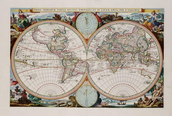
The United Nations General Assembly has approved a resolution that replaces the traditional Mercator projection of the world map. This decision was made during a session in New York, where nearly all UN member states voted in favor of the change.
The newly adopted map, based on the Equal Earth design from 2018, accurately represents the true sizes of countries, particularly the African continent. Under the current Mercator projection, Africa appears to be the same size as Greenland, whereas in reality it is fourteen times larger, as previously noted by NRC.
The adjustment of the world map is primarily a response to the #CorrectTheMap campaign, led by Togo and supported by all 55 member states of the African Union. The campaign has urged governments, schools, and technology companies to abandon the outdated Mercator projection.
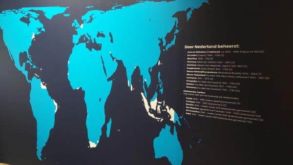
The resolution also calls for a global commitment to using the Equal Earth map, which more accurately reflects the proportions between countries and continents. The UN hopes this change will lead to a better understanding of global geographic relationships.
The broad support for the proposal among UN member states highlights the growing recognition of the flaws in the Mercator projection, which has been in use since the 16th century. The push for the new map represents a step towards more accurate cartographic education and publication.
With the adoption of this resolution, there is now a formal call for countries and institutions to embrace the new map. This marks a shift in how geographic information will be presented worldwide.