World
UN Approves New Map: Enlarged Africa and Reduced Sizes for North America and Europe
The UN General Assembly voted to adopt a new map that portrays Africa larger and North America and Europe smaller, aiming for better accuracy in landmass representation.
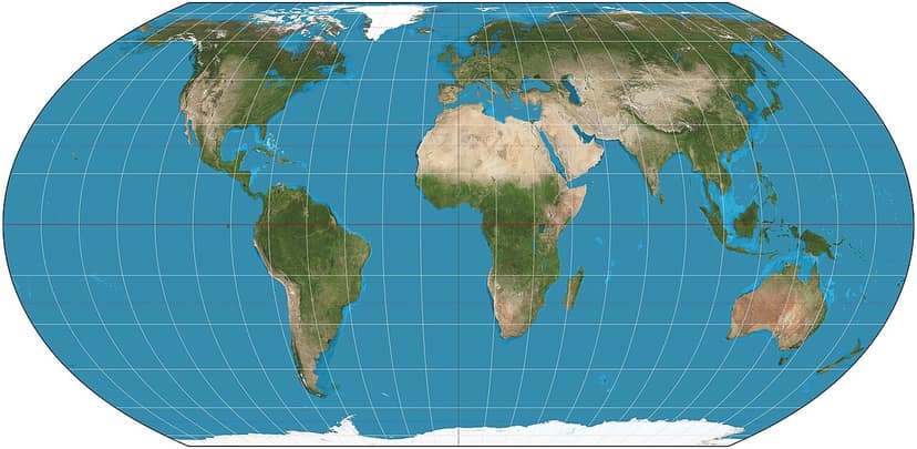

On Friday, the United Nations General Assembly voted to support a resolution to adopt a new map designed to provide a more accurate representation of the world's landmasses. This initiative was spearheaded by several African nations, seeking to alter perceptions regarding the size of continents on global maps.
The newly endorsed map, known as the Equal Earth cartographic projection, makes Africa appear larger while reducing the sizes of North America and Europe significantly. It was backed by 164 countries, although the United States voted against the resolution, and six other states abstained from the vote.
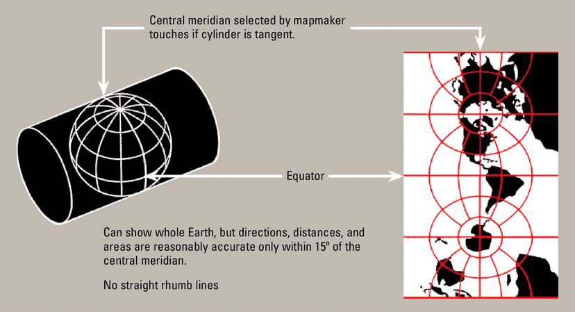
The UN is encouraging member states to utilize this new map instead of the traditional Mercator projection, which has been criticized for distorting the relative sizes of various landmasses. The intention behind this change is to challenge long-standing misconceptions perpetuated by conventional map representations.

Reaction to the adoption of the new map varies, with proponents emphasizing the importance of accurate geographic representation in education and cultural contexts. Critics argue that altering map scales could lead to confusion regarding geographical understanding.
This development marks a significant shift in how geographical information might be presented globally, inviting discussions around the implications of map projections on societal perceptions of continents and their respective sizes.